The Amaravati LPS map: every layout unit, village by village
Returnable plots are not scattered at random. Each capital village has one or two numbered layout units. A plot's unit is the first clue to where it is and what it is worth.
Last reviewed
How the layouts are numbered
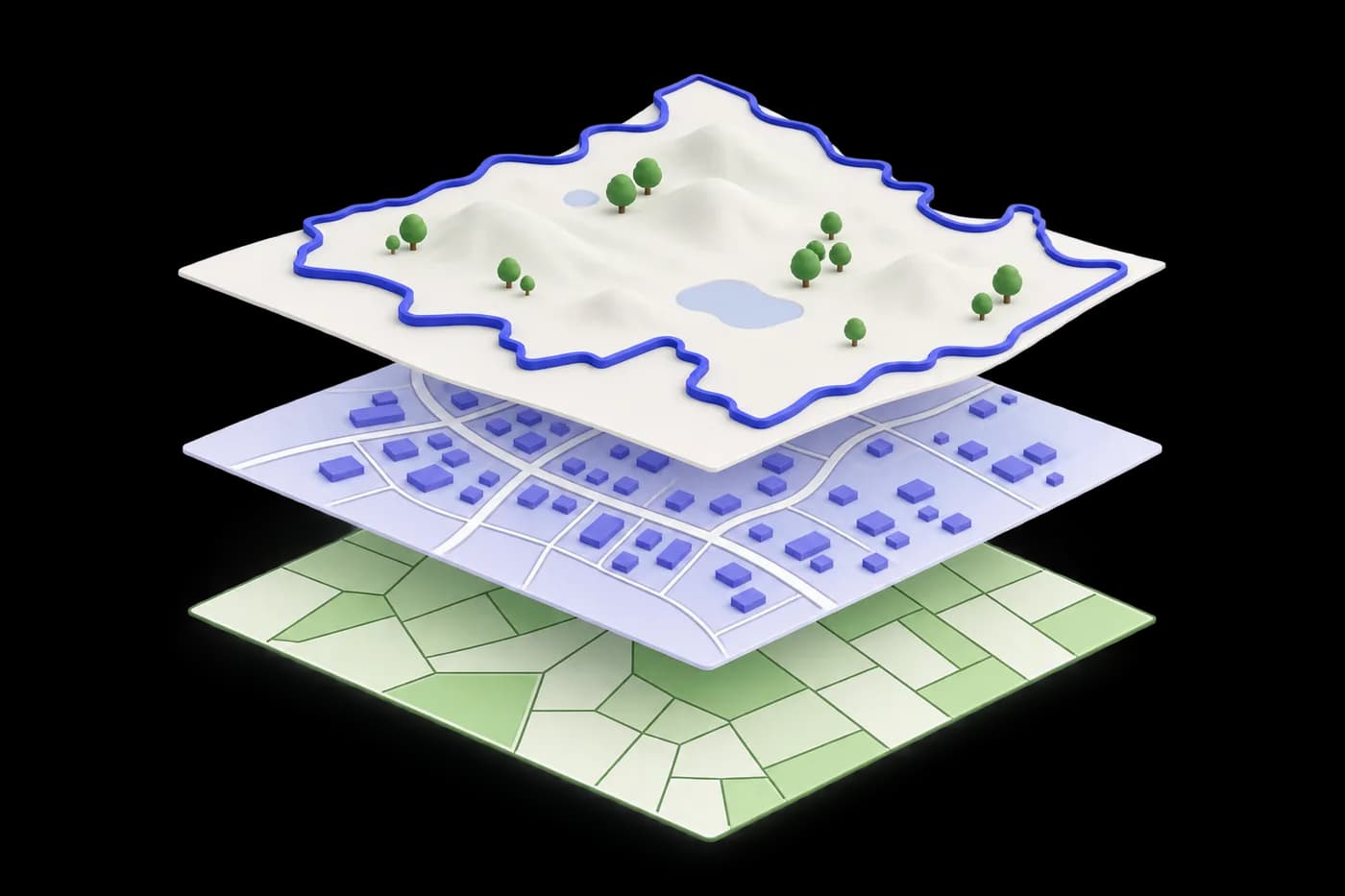
APCRDA redrew the pooled land into layouts and gave each one a unit number. There are 26 units covering 25 villages. The larger villages have two units, and a few small habitations share one with a neighbour. The numbers run roughly from the Mangalagiri side of the capital, through Tadepalli, and then across the Thullur villages.
For road and drain contracts the same land is grouped differently, into 13 LPS zones. A zone can cover several villages. So a plot can be in Rayapudi-2 for its layout and in a different numbered zone for its roads and drains. If someone quotes only a zone number, ask for the unit and plot number as well.
| Mandal | Units |
|---|---|
| Mangalagiri | 1 Krishnayapalem · 2 and 3 Nowluru-1 and Nowluru-2 · 4 Kuragallu · 5 Neerukonda · 6 and 7 Nidamarru-1 and Nidamarru-2 |
| Tadepalli | 8 Undavalli · 9 Penumaka |
| Thullur | 11 Borupalem and Abbarajupalem · 12 Pichukalapalem and Dondapadu · 13 Inavolu · 14 and 15 Rayapudi-1 and Rayapudi-2 (15 with Kondamarajupalem) · 16 Uddandarayunipalem and Lingayapalem · 16A Malkapuram · 17 Nekkallu · 18 Nelapadu · 19 Sakhamuru · 20 and 21 Thullur-1 and Thullur-2 · 22 Velagapudi · 23 Venkatapalem · 24 and 25 Mandadam-1 and Mandadam-2 · 26 Ananthavaram |
The official maps
- APCRDA LPS layouts lists the units village by village and is the reference for which unit exists.
- The APCRDA GIS portal puts the plots on a map with the master plan and planning boundaries over them.
- Final lottery details shows which plots have been allotted through the e-lotteries.
- Anything else circulating as an LPS map, including PDFs on WhatsApp, should be checked against those three before you rely on it.
Reading a unit like a buyer
The unit tells you the neighbourhood. Unit 22 is Velagapudi, where the state government has worked since 2016. Units 14 and 15 are Rayapudi, next to the government complex. Unit 18 is Nelapadu, where the High Court sits. Units 4, 5 and 1 are the Mangalagiri-side villages with the university campuses. Units 8 and 9 are Undavalli and Penumaka, closest to Vijayawada.
The unit does not tell you whether that particular street has roads, drains, water and lights yet. These are being built layout by layout under a ₹3,859 crore programme, and two plots in the same unit can be years apart in when you can build on them. Ask which road the plot faces, and go and look at it.
Phase 2 has no layouts yet
The seven Phase 2 villages are Pedaparimi, Vaddamanu, Harischandrapuram, Vykuntapuram, Pedamadduru, Endrayi, and Karlapudi with Lemalle. They were notified in November 2025, and pooling began in January 2026. When this page was last reviewed, APCRDA had not published layouts for any of them. A map that shows Phase 2 plots today is someone's projection, not an APCRDA layout.
Questions people ask
How many LPS layouts are there in Amaravati?
APCRDA lists 26 layout units covering 25 villages. The same land is grouped into 13 LPS zones for infrastructure contracts.
Where can I see the Amaravati LPS map?
APCRDA's LPS layouts page lists the units, and the APCRDA GIS portal at gis.apcrda.org shows the plots on a map with the master plan over them.
Which LPS unit is my village in?
Every village page on this site names its unit. Velagapudi is Unit 22, Rayapudi is Units 14 and 15, Nelapadu is Unit 18, Mandadam is Units 24 and 25, and so on.
Are there LPS layout maps for Phase 2 villages?
Not yet. Phase 2 was notified in November 2025 and pooling began in January 2026. When this page was last reviewed, APCRDA had not published layouts for the Phase 2 villages.
Want a straight answer about a plot or a village?
We live and work in the capital villages. Send the survey number or LP number and we will tell you what we know, including the things that should make you pause.